Based in Saint-Laurent, Quebec, FOIF Canada Inc. is the exclusive Canadian distributor for Suzhou FOIF’s wide range of surveying instruments, including Total Stations, Theodolites, GNSS, Automatic Levels, Digital Levels and Precision Levels.
Based in Saint-Laurent, Quebec, FOIF Canada Inc. is the exclusive Canadian distributor for Suzhou FOIF’s wide range of surveying instruments, including Total Stations, Theodolites, GNSS, Automatic Levels, Digital Levels and Precision Levels. FOIF Canada is dedicated to offering the highest quality instrumentation to empower surveyors, engineers and construction companies to meet their goals efficiently and accurately.
Suzhou First Optical Instrument Factory was founded in 1958, produced the first 1st grade Optical Theodolite and the first Automatic Level in China in 1968. The first EDM was developed in 1987 and the first Total Station in 1996. FOIF worked successively on the manufacturing and assembly of Wild T2, Leica DI1600 and Sokkia DT2 EDM. FOIF has an advanced CNC (Computer Numerical Control) machining center and an established R&D Center for advanced technology research and the creation of new products. It is the first enterprise in China to produce a Total Station using Reflectorless Technology. FOIF is a professional enterprise of designing and manufacturing of surveying instruments, construction laser instruments and tools, including GNSS products, Total Station, Electronic Theodolite, Auto-Level, Laser and architecture installing instruments. FOIF was awarded several distinctions and awards by the Chinese Government and several ISO9001 certifications. FOIF has an international sales network, with products exported to Europe, America, Australia, Africa and Asia.
Grid
Grid-2
List
List-2
Catelog
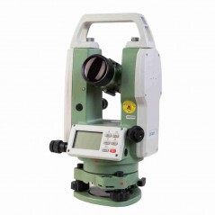
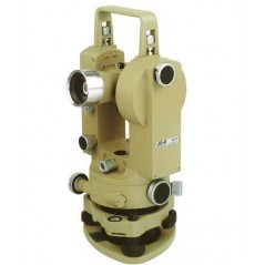
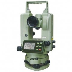
DT400 series Electronic Theodolite applied absolute encoders system for digital angle measurement, don't need rotate telescope to start angle measurement. It can achieve measurement, calculating, display and memory etc. by means of computer technology. It can display measuring results of horizontal and vertical angle at the same time.<br...
Details:
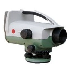
EL03 provides fast digital reading and display, quicker and easier than an optical level; standard deviation of 1km double run reaches to ±0.3mm; Easy one-touch operation, simply push the MEAS button
Details:
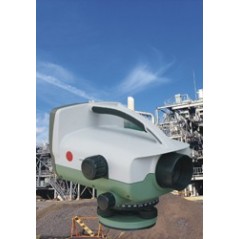
With feature of digital products, EL300 makes your JOB easily and fastly, save you time. Press one button to get the height difference and save the data in the internal memory or SD card.
Details:
For all routine survey work in civil engineering construction,industrial and land surveys such as triangulation and traversing, precise construction, cadastral surveys, deformation studies, optical tooling and laboratory measurements, field astronomy etc.
Details:
Laser Spot is Visible From Eyepiece With built-in diode the laser can be seen up to 200 metres away outside in daylight. The clear laser spot can also be seen up to 100 metres through the eyepiece.
Details:
IP66 protection; alphanumeric keyboard
LCD display with 6 lines x20 characters
Power long reflectorless measuring distance:300m(RTS100R3)/500m(RTS100R5)
<p...
Details:
Endless drives are applied on RTS 330 series, users can collimate target faster with two hands operation. There is a trigger key mounted on the side of the instrument, user do not lose sight of the target while measuring; It has 500m-1000m long range Bluetooth cable-free connection.
Details:
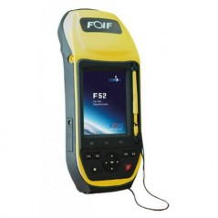
Field Controller F55 series FOIF GNSS Handheld is latest GIS collector in completely integrated design adopting ergonomics technology. It provides onboard GIS software FOIF SuperGIS which can greatly satisfy users' demands on widely GIS surveying fields.
Details:
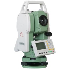
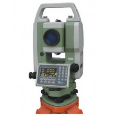
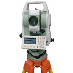
TS650 series total station is FOIF's new product, featured with 32 bit CPU, SD card and bluetooth, it works more efficiently and quickly. It can be widely used for building setting out, road layout, topography survey and control survey, etc.
Details:
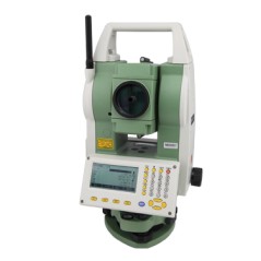
TS680 series total station features with 32bit CPU, SD card, bluetooth and build-out temperature and pressure sensor, it works efficiently and quickly. It can be widely used for building setting out, road layout, topography survey and control survey, etc.


