GeoMax is part of Hexagon (Nasdaq Stockholm: HEXA B; hexagon.com), a leading global provider of information technologies that drive quality and productivity improvements across geospatial and industrial enterprise applications.
At GeoMax, we provide a comprehensive portfolio of integrated solutions by developing, manufacturing and distributing quality construction and surveying instruments and software.
Our comprehensive product portfolio includes easy-to-use, yet highly productive total stations, GPS/GNSS instruments, laser scanners, 3D measuring systems, software, lasers, levels, machine guidance and cable location systems, levels and accessories. Our products are known for robustness, ease of use and outstanding price-to-performance ratio. From our base in Europe, our technology is supported by a broad sales and service network covering all continents and more than 100 branches. GeoMax is part of Hexagon (Nasdaq Stockholm: HEXA B; hexagon.com), a leading global
provider of information technologies that drive quality and productivity improvements across geospatial and industrial enterprise applications.
Grid
Grid-2
List
List-2
Catelog
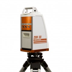
GeoMax SPS Zoom 300 Laser Scanner Series is a 3D laser scanner device that collects precise spatial data of objects or environments. The collected point cloud data can then be used to construct digital three dimensional models.
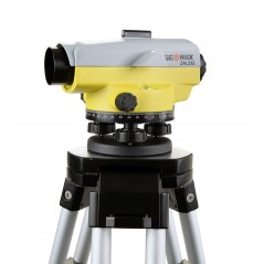
The GeoMax ZAL 200 Construction Level series are dependable and durable tools specifically designed for construction professionals.The ZAL200 Series include: ZAL220 Automatic Level, ZAL224 Automatic Level and ZAL232 Automatic Level.
Details:
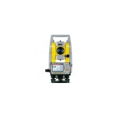
The Zoom30 Pro combines faster stake-out with NavLight™, outstanding non-prism distance measurement over 600 m, easy data transfer via USB Stick, extra large 3.5” colour touch screen, troublefree quadruple axis compensation
Details:
With non-prism mesurements of 1,000 m, the all new Zoom35 Pro opens a new class of total stations for all those requiring highest performance on all levels.
Details:
Dramatically minimise the time of any survey task and boost your performance and accuracy to the maximum.
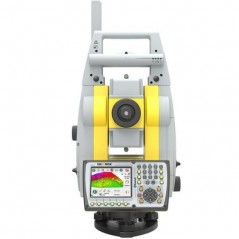
Zoom90 is the ultimate one-man system with up to 20% more automation performance, extended reflectorless measurement capability, STReAM360, accXess technologies and Windows CE open connectivity.
Details:
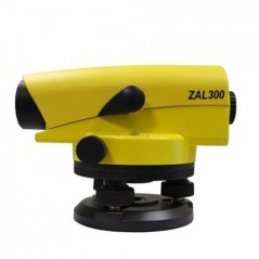
Get all your tasks done with GeoMax’s level fl agship. From daily levelling tasks to high accuracy – the ZAL300 Series is your first choice where robustness, comfort and accuracy count. It simply “Works when you do!”
Details:
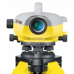
Quick, Easy & Error-free The super fast measurement speed of less than 3 sec. in combination with the simplicity of the one-push measure and store functionality provides faster, more economical workflow. Digital reading combined with internal memory make miss-readings and operator interpretation errors a thing of the past.
Details:
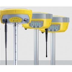
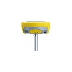
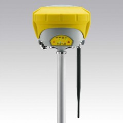
The GeoMax Zenith10 is a complete and fully integrated GNSS receiver, allowing to track simultaneously 38 satellites of the GPS and GLONASS systems. With the capability of tracking 60 satellites of GPS, GLONASS & BeiDou simultaneously, Zenith20 provides a reliable positioning.
Details:
Equipped with state-of-the-art GNSS receiver technology, Zenith25 provides a high level of performance. The reliable and robust GNSS system that “works when you do” – even in extreme environments.
Details:
Full spectrum of satellite signals, unlimited connectivity and the unique Tilt&Go functionality, all compressed in a compact GNSS make the Zenith35 series the GNSS that works when you do.
Details:
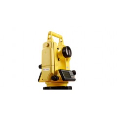
The Geomax Zipp02 is a high accuracy Electronic Theodolite - ideal for a variety of construction survey applications, with 2" accuracy and vertical compansator.
Details:
The Zipp10 Pro is your economic choice when price counts as much as performance. It provides seamless data flow via USB stick, coaxial reflectorless measurements and a full set of applications. These benefits are proving again the best price-to-performance.
Details:
The GeoMax Zoom20 Pro Manual total station includes an environmentally protected USB port that allows fast, simple and reliable data transfer between the instrument and your PC, even to other total stations. Together with an extra large high-resolution display the easy-to-use graphical interface makes regular tasks like stake-out easier and more productive...


